Wednesday 30 November 2011

QGIS python plugins: call for suggestions!

Since a couple of day we are working on QGIS in ArcheOS. As you can read in ArcheOS official blog Fabrizio Furnari is already testing GFOSS repository to add an updated version (1.7) of QGIS (actually ArcheOS 4 alpha support QGIS 1.4). By the way we are also considering to add some plugins by default inside the software; by now we would like to add:

PyArcInit (http://www.pyarchinit.altervista.org/), an archaeological plugin

CADtools (http://www.catais.org/qgis/cadtools/), to improve QGIS potentialities in vector drawing

VTerrain (http://exporttocanoma.blogspot.com/), to provide a solid 3D module to QGIS, thank to Virtual Terrain Project (http://vterrain.org/)

If you now other plugins which will be useful in archaeology, please advise us by writing in one of the official ArcheOS Mailing List:

IT: http://lists.linux.it/listinfo/archeos

EN: http://lists.linux.it/listinfo/archeos-dev

... or simply  by replying to this post

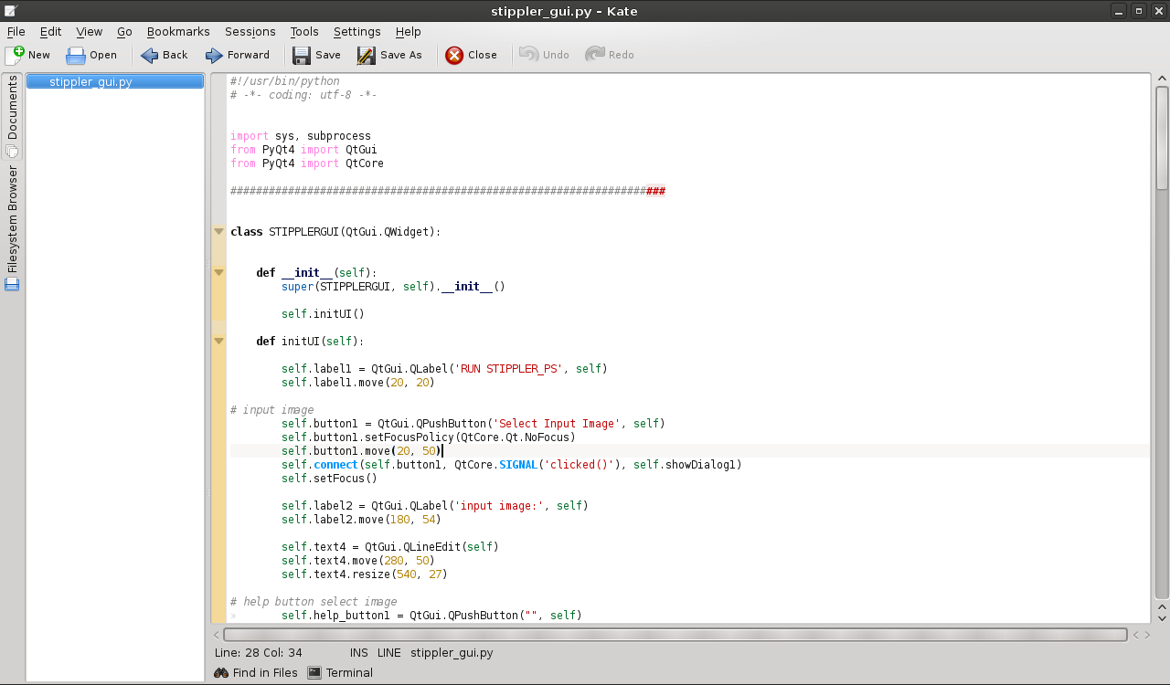
In the image below you can see, for instance, the CADtools plugin


Friday 25 November 2011

stippler-gui

Today I received an email from Giuseppe Amatulli, who is interested in the techniques we used for the automatic archaeological drawing. I hope we can work together to optimize this techniques, maybe integrating most of the steps of the workflow in a single software (GRASS?). Anyway he was also interested, of course, in the source code of the software we used, so I noticed that we never uploaded the software "stippler-gui", the graphical user interface for stippler which Alessandro Bezzi wrote. In the meantime I prepared a fast page in our website, where is also possible to download the source code (released under GPL). As an alternative you can download it in the brand new github public repository.


Monday 14 November 2011

ArcheOS tutorial updated (transforming coordinates into GIS shapes)

In 2006, after our experience during the Aramus Excavations and Field Shool, we started a project to write documentation about Archeos. The project was possible thanks to the effort of the Institut fuer Alte Geschichte und Altorientalistik of Innsbruck University (Willfrid Allinger-Csollic, Sandra Heinsch and Walter Kuntner) and it is based on a wiki system (dokuwiki). Its aim consists in sharing the know-how in computational archaeology, starting from the lessons we (Arc-Team) do every year during the excavation in Aramus. All the contributes are written in the form of tutorials and released with an open license (generally FDL). Any help from the community is welcome (updates, review, etc...), especially new documents from new authors!
After the release of ArcheOS 4, most of the tutorial  will need updates and today i started with the document "Transforming coordinates into GIS shapes" which explain how to convert raw data from total station into basic geometries for GIS (in this case OpenJUMP). The tutorial is available here. I hope to update soon the next one ("Photomapping (metodo Aramus)").

Wednesday 9 November 2011

More info about the archaeological automatic drawing technique

Yesterday I was looking the statistics regarding this blog and I noticed that one of the most popular post is the one about the automatic drawing technique we (Alessandro Bezzi, Simone Cavalieri and me) proposed some years ago. I noticed as well that i forgot to upload in Arc-Team's open library the presentation we did in Foggia (for ArcheoFOSS 5) about this argument (sorry, just in Italian by now...). Now the link is active and you can download the presentation here, or in Academia.edu.
As the slides are in Italian I summarize here the experiment we did in that occasion. We divided archaeological finds in four classes, looking which kind of documentation normally they need.

1) photographic documentation (e.g coins)
2) simple drawing (e.g. flint)
3) drawing + shading (e.g. normal artefacts)
4) drawing + shading + section (e.g. pottery)


Then we developed a five steps techniques to get the appropriate documentation for each class in a automatic or semi-automatic way (using only FLOSS, of course):


  1. rectified photo (GRASS - efoto)
  2. rectified photo + vector drawing (GRASS - efoto -OpenJUMP)
  3. rectified photo + vector drawing + shading (GRASS - efoto -OpenJUMP - stippler -  Inkscape)
  4. rectified photo + vector drawing + shading + section (GRASS - efoto -OpenJUMP - stippler - Inkscape - hardware)


Here is an image with the original picture of the archaeological finds we used as test and the final layout.


All the finds come from the excavation in the church of S. Andrea in Storo (TN - Italy) and gave us positive results (I just used to many points in stippler for the drawing of the pottery... anyway it is now easy to change this parameter with the new python interface Alessandro developed).
In the slides you will also find our first test on Lena picture:


The image has nothing to do with sexism, she is just o kind of standard since 70's for raster images tests... by the way she is beautiful :)

2016-04-28 Post updated

In 2010 we wrote an article (in Italian) about this technique:

"Proposta per un metodo informatizzato di disegno archeologico" (here in ResearchGate and here in Academia).

Sunday 6 November 2011

Presentation of ArcheOS 4 (Gnewarchaeology)

I just uploaded in Arc-Team's open library the presentation of ArcheOS 4, done during the workshop Gnewarchaeology in Ferrara (see the previous post). You can download it here. Although some images are a bit old, they provides a fast overview of ArcheOS 4 potentialities.
Soon i will upload the slides of the other presentation we did ("The evolution of anthropological research from a Free and Open Source point of view").


Saturday 5 November 2011

DXF in GRASS (v.in.dxf)

I got some emails regarding problems some users have found trying to import a dxf in GRASS, so i think it is better to do a new post about this topic.
At this page you can find the image below, which shows our first attempt to import a 3D object modeled in Blender inside GRASS through the DXF file format (and i have to say that without the help of Markus Neteler it would not have been successful).


It regards pretty old data from my thesis (2006) and the object is not really complex (just a simple solid of revolution).
When i tried again to import a 3D object inside GRASS i wanted to choose a more difficult test, so i planned to start some experiments with a human skeleton (the one you can see in the image below) and i exported the model from Blender in a dxf file...


... but when i tried to import it in GRASS i could not even recognize its shape inside Map Display. To understand what happened i decide to import again the model inside Blender, to try at least to visualize it and check if everything was in order, and this was what the software showed me:


When i saw the result i could not stop laughing for some minuets, but finally i found out there were some problems with the dxf file.
After this experience, when i want to export a dxf file from Blender and import it in GRASS i "clean it" before with MeshLab, because i discovered that MeshLab exports a dxf file more readable for GRASS parameters.
If you want to try, you can download this blender file. It is the GRASS logo, which i modeled in Blender, as you can see in this image.


You should load the file in Blender, export it as a ply, import it in MeshLab...


... export it in a dxf and import it in GRASS (v.in.dxf), like in the image below


I hope this post was useful, if are still problems just reply with a post or send me an email.
BlogItalia - La directory italiana dei blog Creative Commons License
This work is licensed under a Creative Commons Attribution 4.0 International License.